
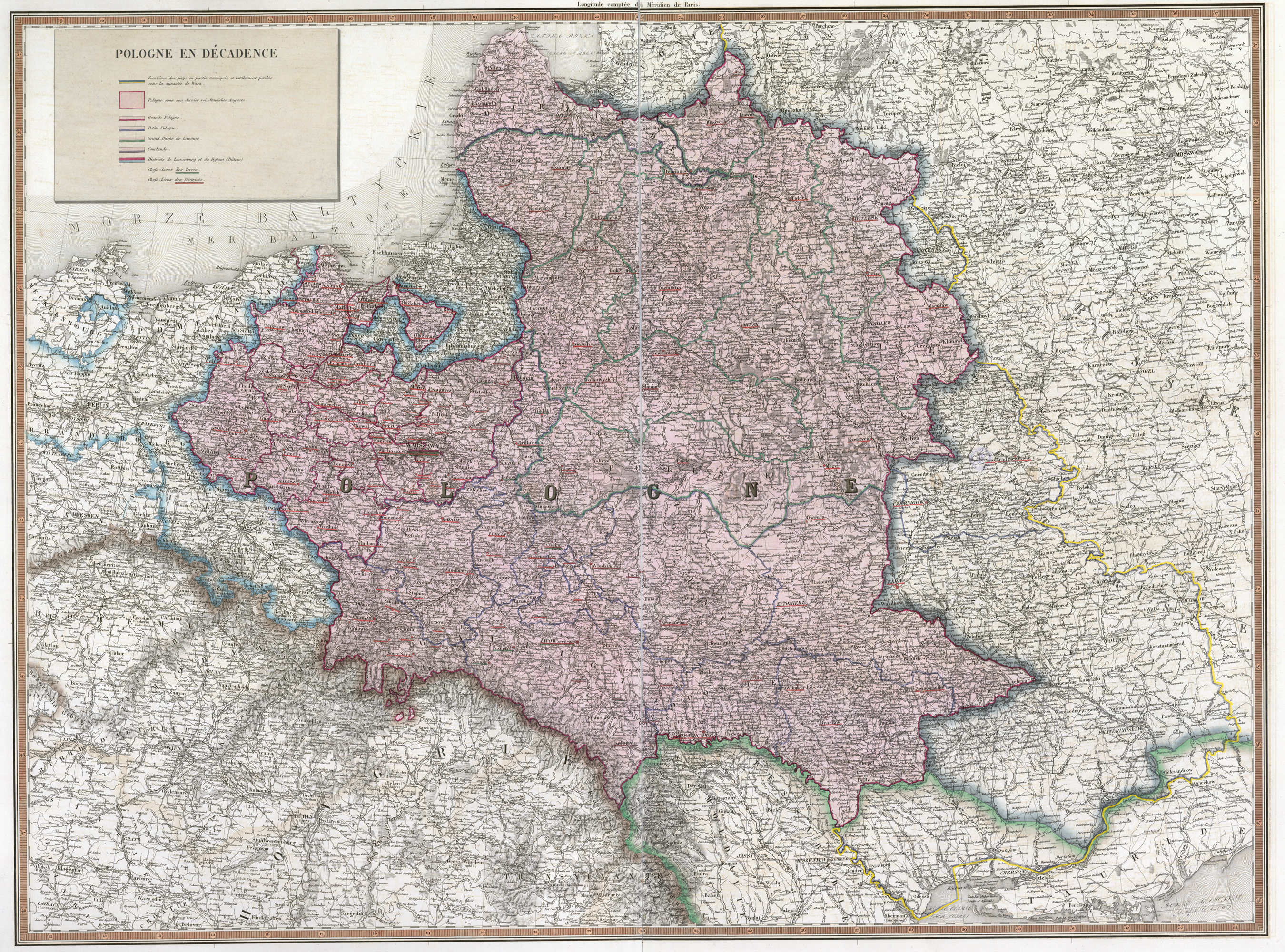
Map of POLONIA 1772 AD
Detailed historical map with regional borders of Polonia on 1772 AD
$750.00$525.00
Map of POLONIA 1772 AD. VERY DETAILED and colored image on satin fabric with pole pockets on top and bottom. Size 83"x 67". Excellent educational tool for history of Europe especially for travelling teachers.
Size: 83" x 67"